MARIPOSAS de BOLIVIA
Enero - Febrero 2012
sitio 69
first update d. 16 March 2012
last update d. 25 December
2017
Redactor: Lars
Andersen
Camino de Muerte, Yungas, elev. 2000/2600
m.
Cascades de Sacramento Alto
Kori Wayku inca trail
15/18 January, and 9 February 2012
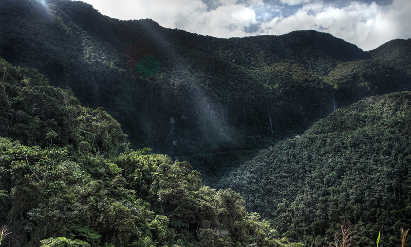
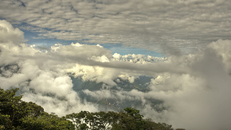
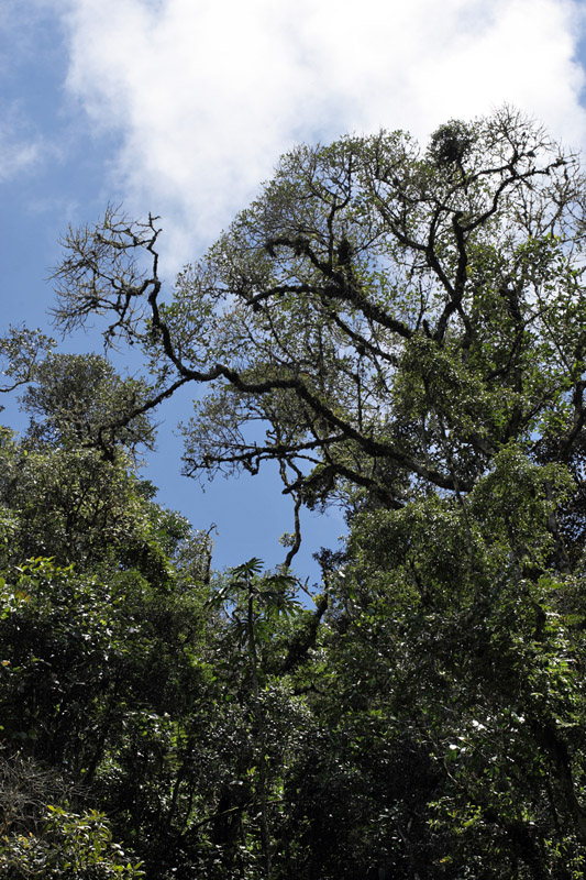
Cloud
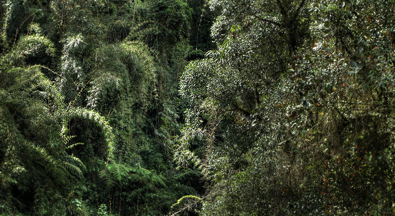
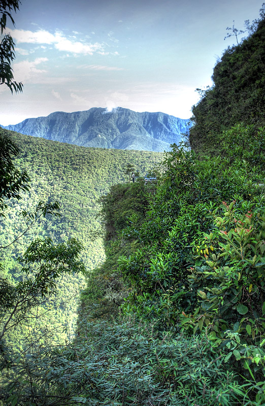
forest and their butterflies in eastern Andes in
Bolivia.
Cloud forests are upper
montane rain forest, montane laurel forest, or
more localised terms such as the Bolivian Yungas,
have transition zones between the high Andes
alpine and tropical Amazon flora and fauna.
Amazon riwer system in South America has approx.
40% of the world's total forest land, approx. 70%
of the world's animal and plant species, some of
these reaches into the cloud forests. Once you
get over 2400 meters altitude pops up plants
which are known from North America and Asia as
violets, blackberries and various heathers,
grasses and orchids.
|
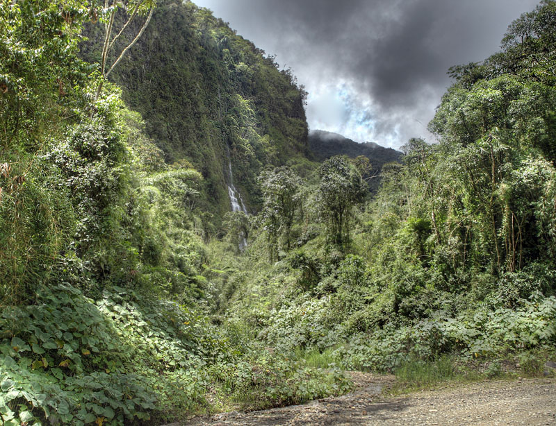
Many of
the Yungas are degraded areas or tree formations
in recovery who have not yet reached its climax
vegetation, like the Fayal-Heath of Macaronesian
laurisilva. The diversity of plants and animal
species falls dramatically when you get over 2400
meters altitude. Cloud Forest appear from
Venezuela to northwestern Argentina via Brazil
Bolivia, Chile, Colombia, Ecuador and Peru
|
Butterflies in the cloud forests
along “the world's most dangerous road”.
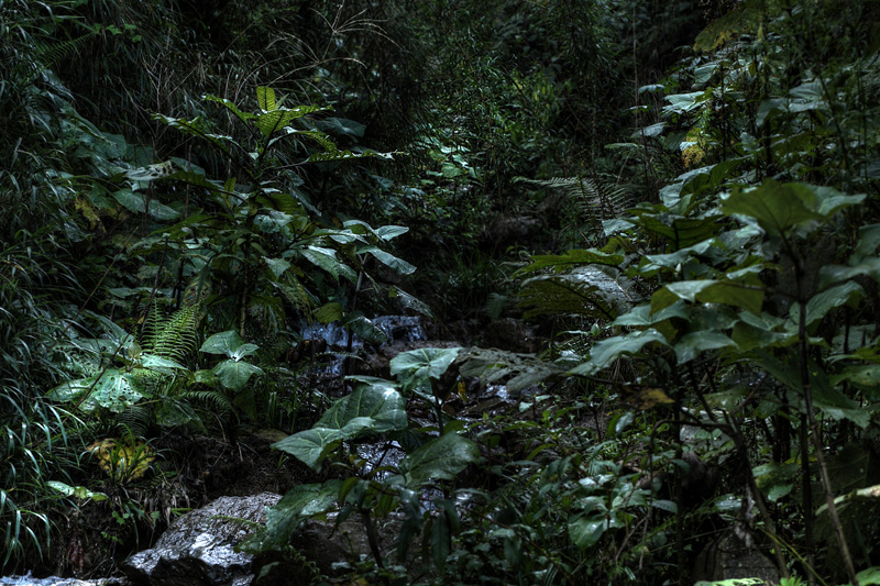 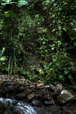 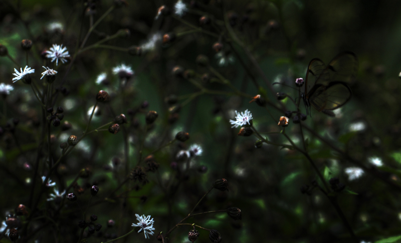 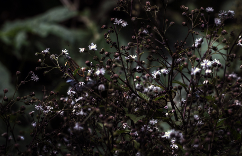 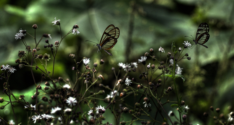 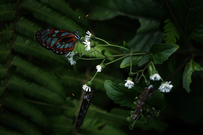 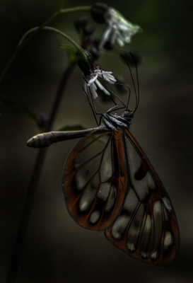 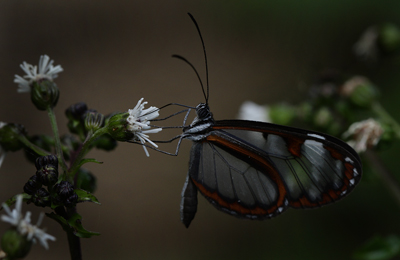 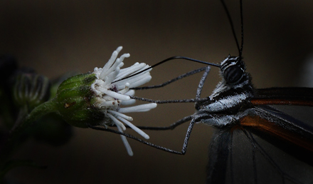 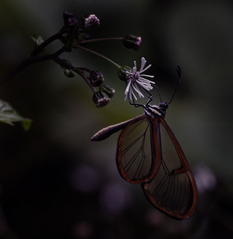 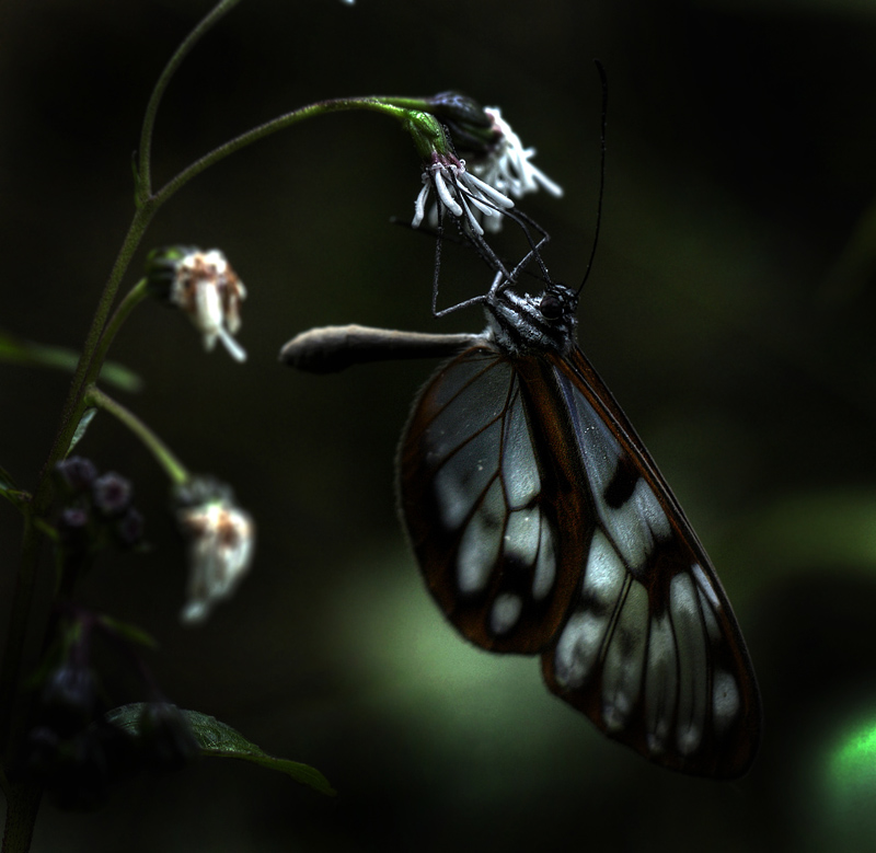
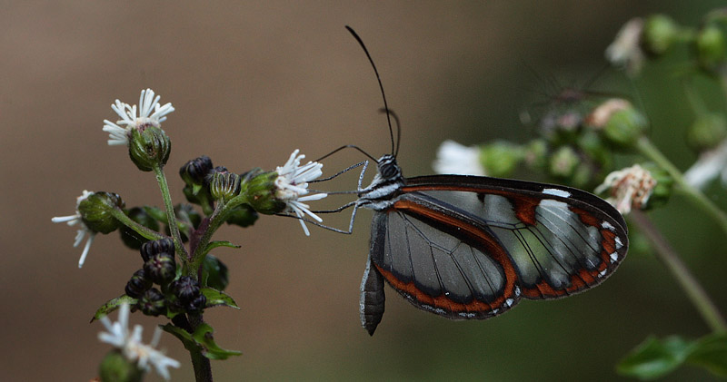
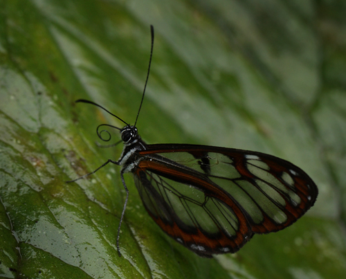
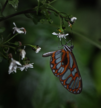
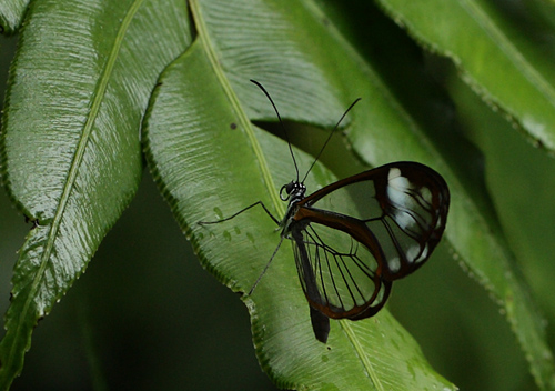
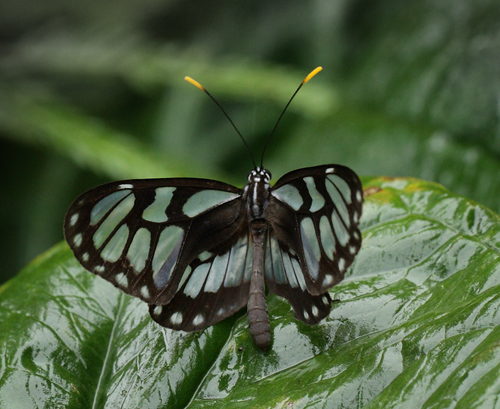
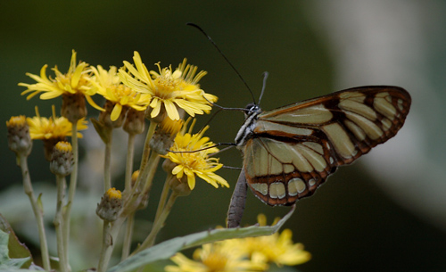
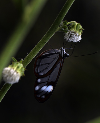
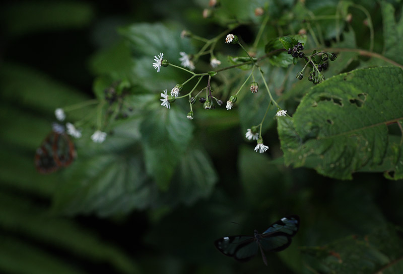
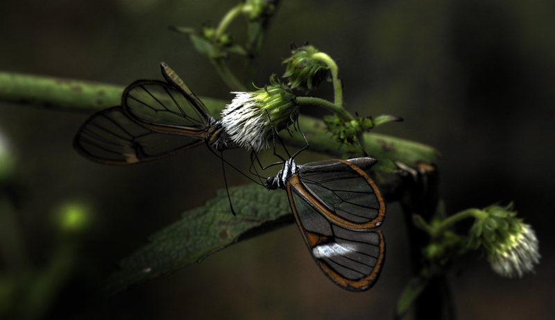
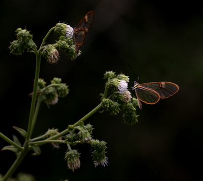
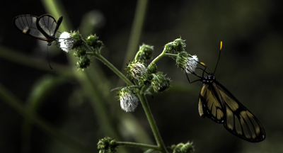
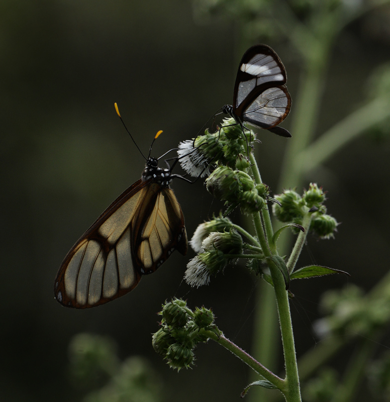
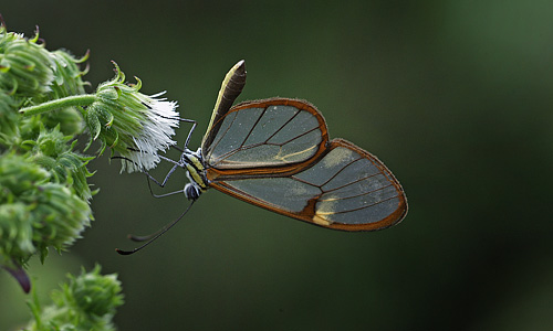
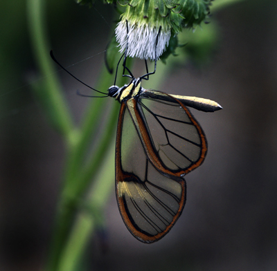
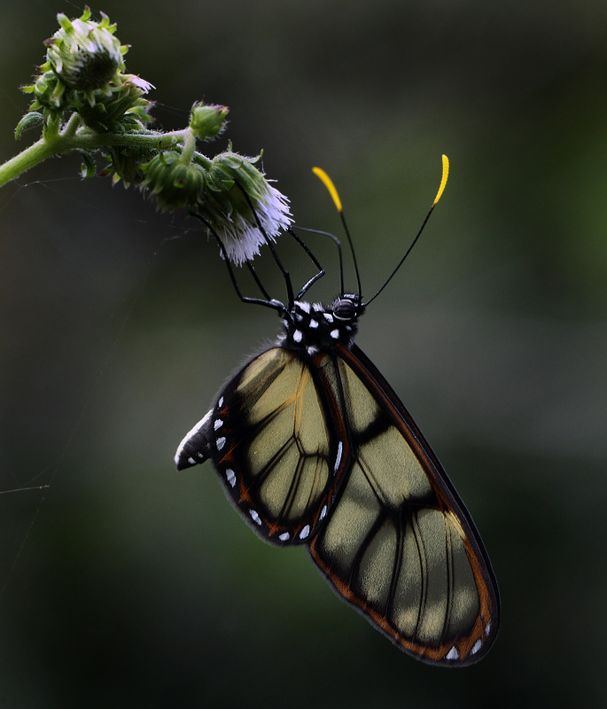
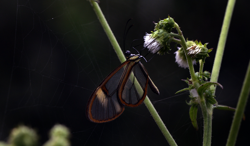
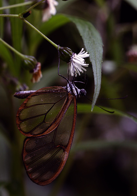
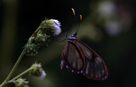
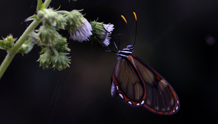
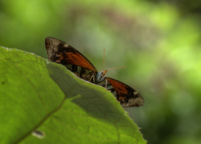
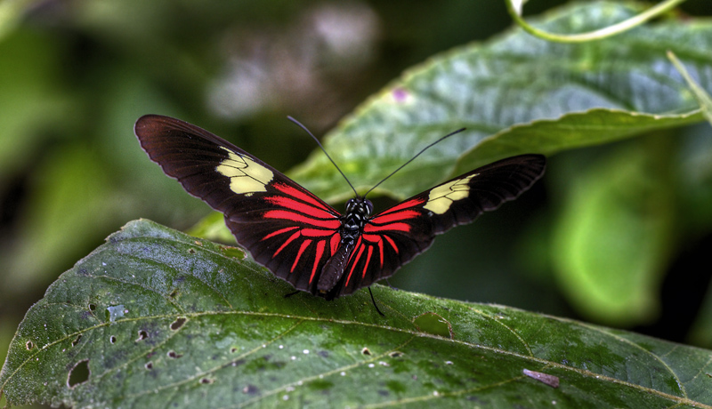
| Clearwings, Ithomiini; Deep in the ravines shaded part
where the small white flowers of Eupatorium grow in small groups along the
smal riverstream, fly to the flowers of several
species of clearwings throughout their lives in
close symbiosis with the host plant. Even in the
rain flying butterflies active around to search
nectar on flowers. Clearwings, Ithomiini from Yungas, Enero -
Febrero 2006 - 2010 sitio 66 |
__________________________________________
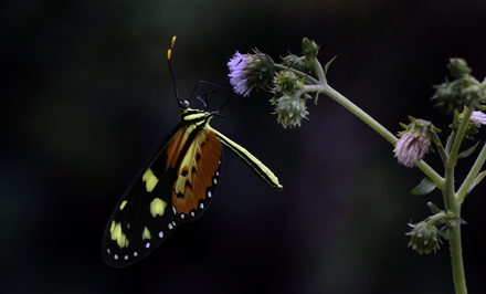 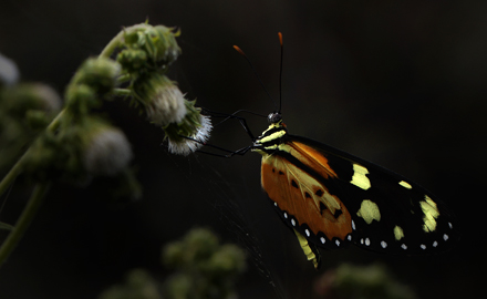 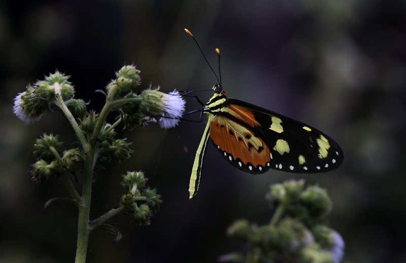
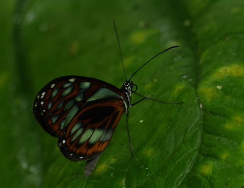
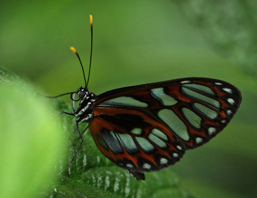
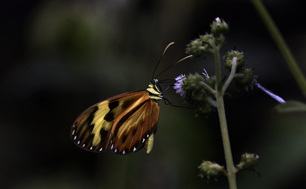
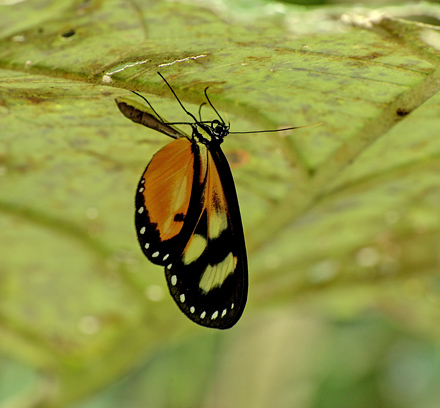
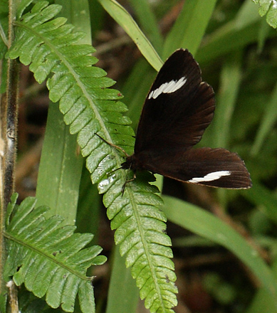
| Sweet-oil
Tiger, Mechanitis
lysimnia is a very widespread species,
distributed from southern Mexico to Uruguay.
There are at least 15 different subspecies, each
varying in colour and pattern. The illustrated
race elisa is
restricted to the lowlands of Peru, Bolivia and
the Mato Grosso in Brazil. The butterfly is
visible mainly in the early morning, and again in
late afternoon, at which time the imago
butterflies can be found visiting Eupatorium flowers
in forest clearings and along riverbanks. |
   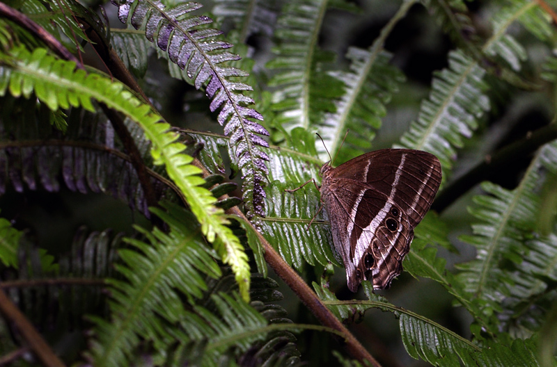 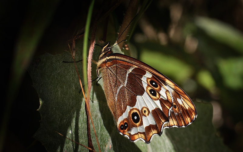 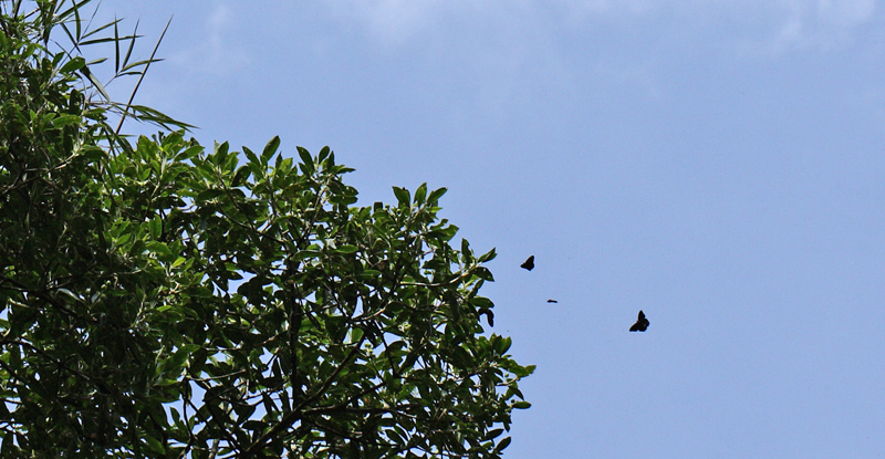 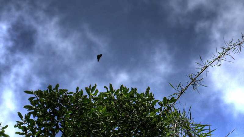 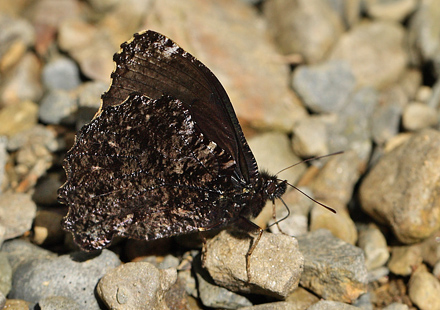 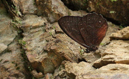    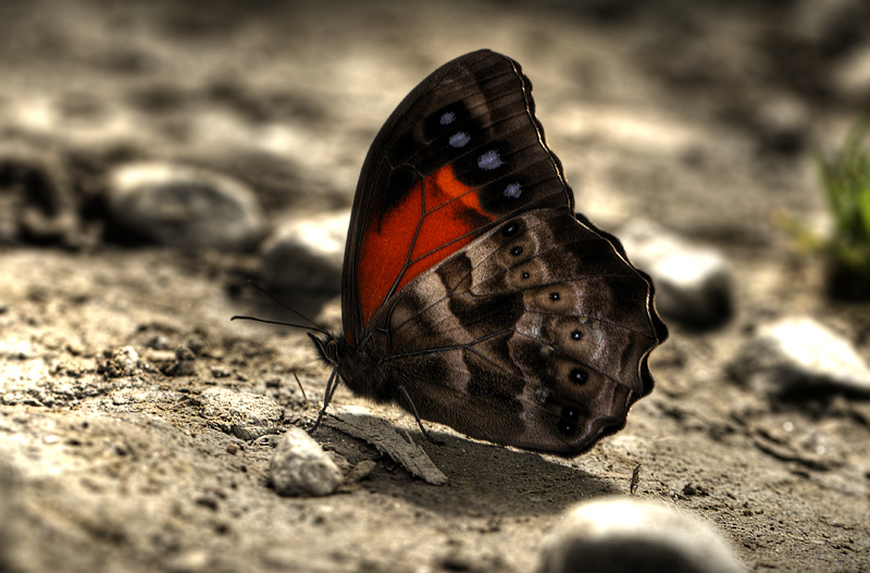
Cordillera
Satyr, Pronophila
cordillera (Westwood,
1851).
Camino de Muerte elev. 2600 m. Yungas, Bolivia d. 9 February
2012. Photographer: Lars Andersen
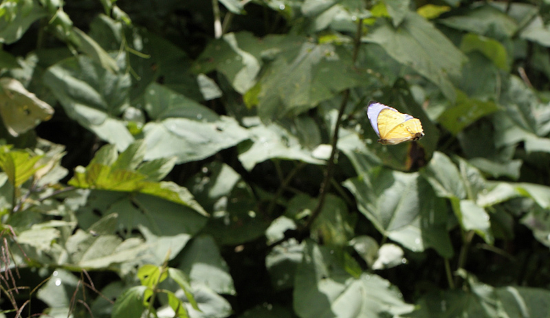
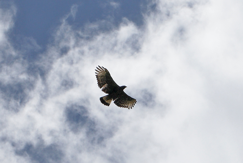
| Mountain Black
Satyr; Pronophilini are large butterflies dominate
the air around the treetop in cloudforests, its
favorite food plant is the Andean bamboo that is
common there. There are several species which are
very similar. The flies usually high in trees,
but can be lured down with animal feces and pee. |
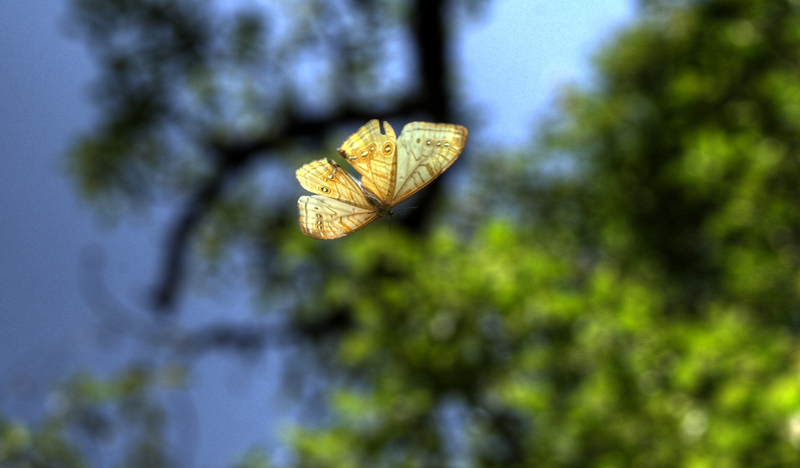 
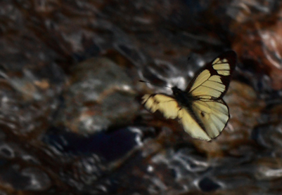
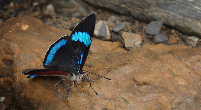
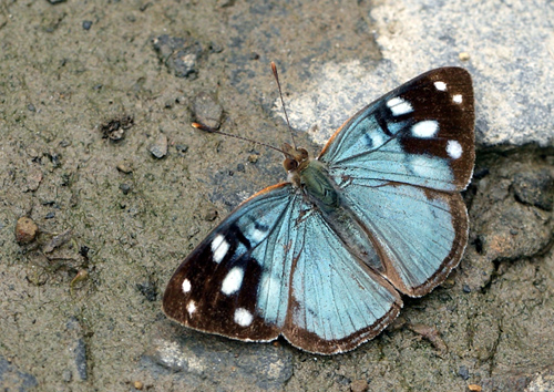
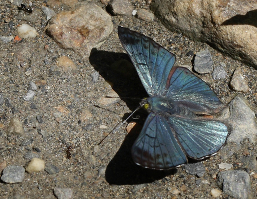
| The next butterfly is
the beutiful pearlblue Lympharis
Morpho or Mountains
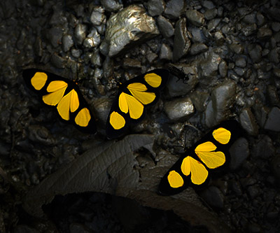
Morpho, Morpho
lympharis only
fly in the sunshine, go to rest as soon as a
cloud shadows of the sun in the ravine. Is the
most spetacular butterflies flying along the
world's most dangerous road in Bolivia. Cascades de
Sacramento Alto Febrero
2008 sitio 34 |
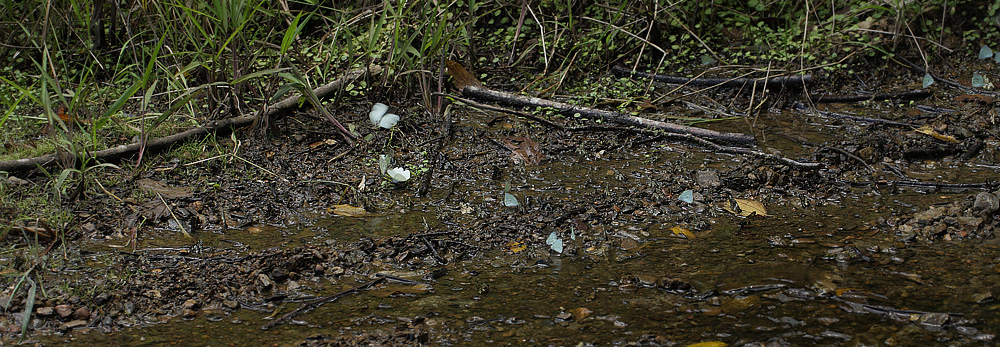    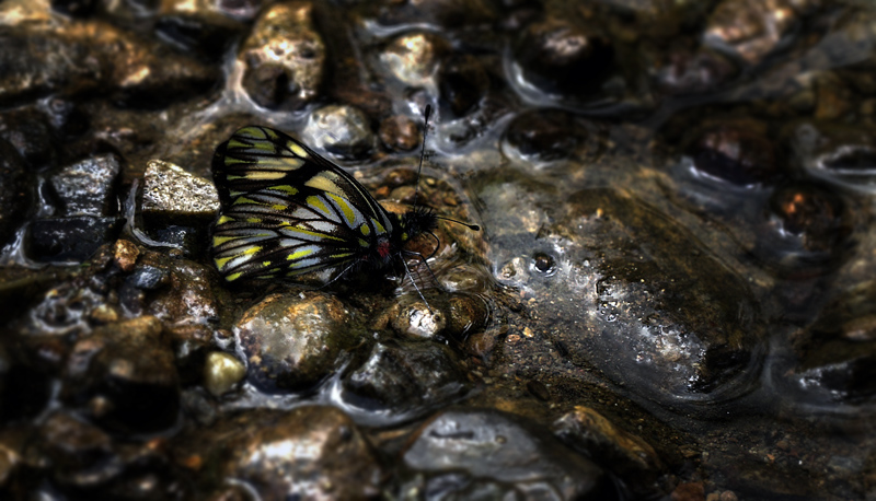
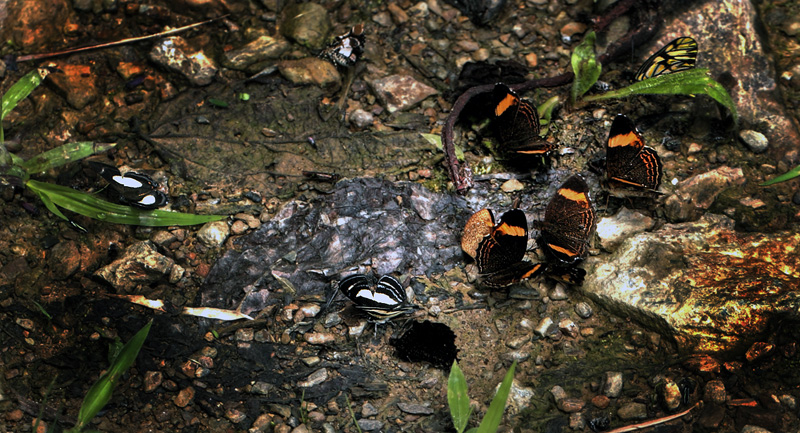
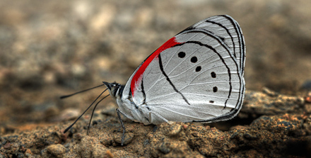
| Mountains Water
Whites, Catasticta is comprised of
about 90 species, all found in the Andes, South
America or Cordilleras of Central America from
600 to 2600 meters altitude. The species are
often extremly difficult to identify, most having
very similar patterns on the underwings surfaces. Males
are usually found wiht small streams they gather
in numbers, often several species together. They
often sit wedged amongst small semi-submerged
rocks and pebbles at the edge of shallow streams,
or where small fords cross mountain roads.
Females rarely settle on the ground, and are
instead encountered in flight on mountain passes,
or when feeding at flowers at cloud forest /
grassland transition zones. Feedplants: Parasitic
mistletoes, Phoradendron species.
Caterpillars feed in small groups. Pupae are
found in groups on tree trunks and look like bird
droppings.
|
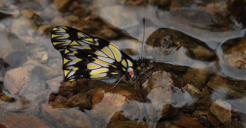
Collina Dartwhite, Catasticta collina (F. Brown, 1939).
Ecovia/Kori Wayku inca trail 2000 m., Yungas, Bolivia February 2, 2010. Photographer; Lars Andersen
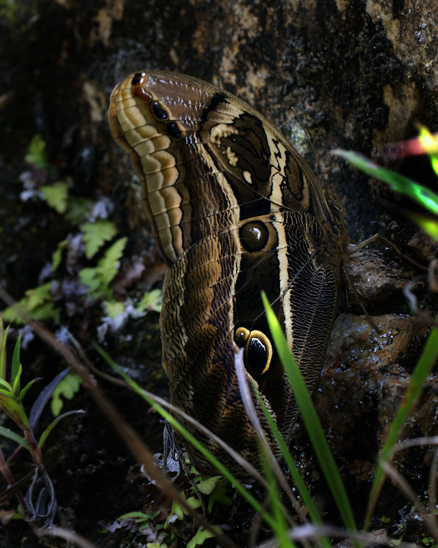
| Between
the Andes bamboo you can be lucky to see the
beautiful Double Spotted Owl
Butterfly, Eryphanis
zolvizora. It is active in cloudy
weather and late on days in the blue hour. |
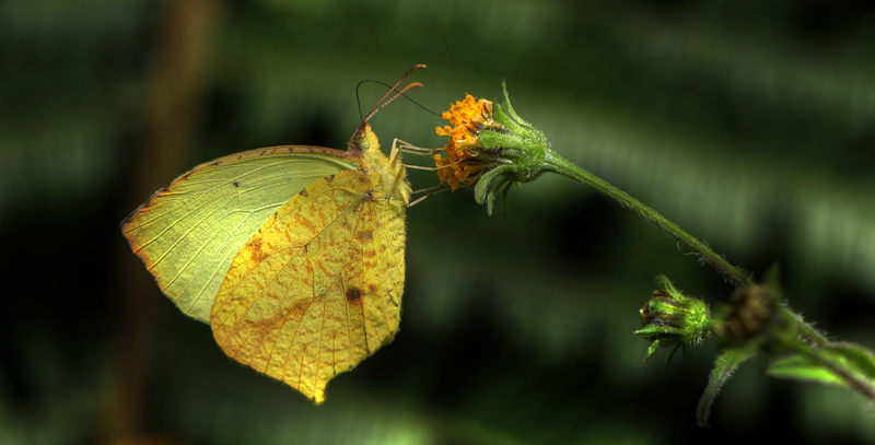 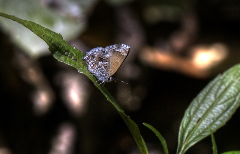 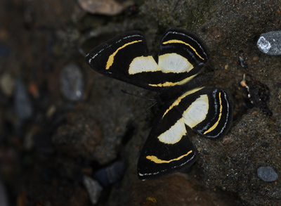 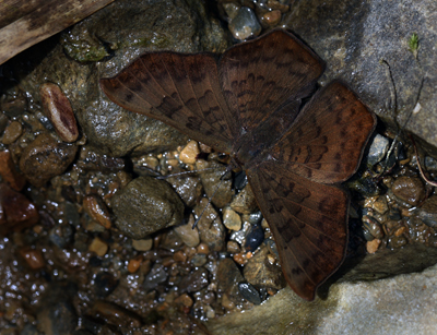     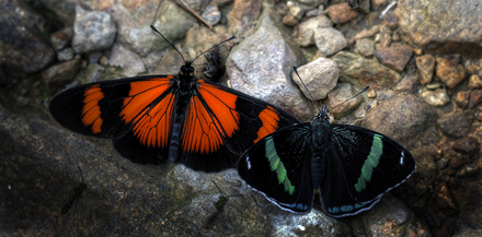  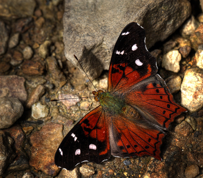 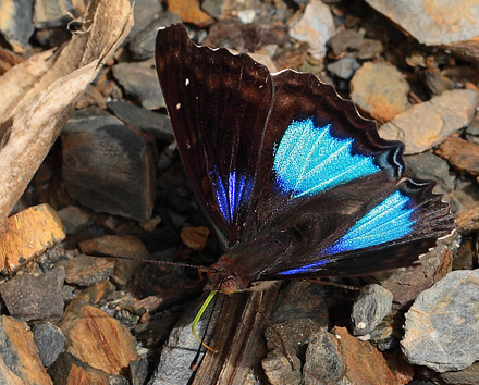 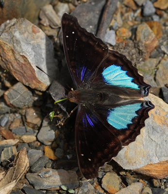 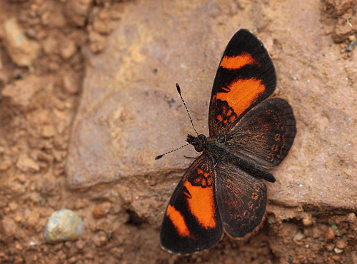 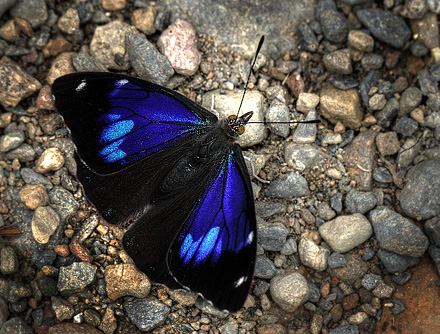 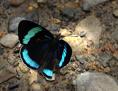     
Also
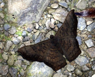
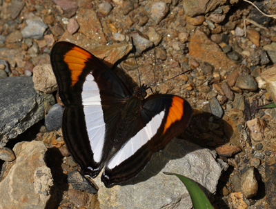
a big purplered Leafwing ; Brush
Footed Anaea, Polygrapha
tyrianthina, another Anaea
which is deep blue with sickle-shaped wings and
tails; Boisduval's Leafwing, Memphis
moruus is also seen in the
ravines.
There
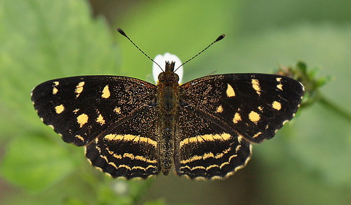
are a few Metal Wings, Riodinidae as; Sylphina
Angel, Chorinea
sylphina and Angularis
Metalmark, Emesis
angularis and various small skippers
and some dark ringlet.
|
   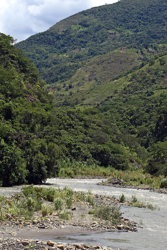  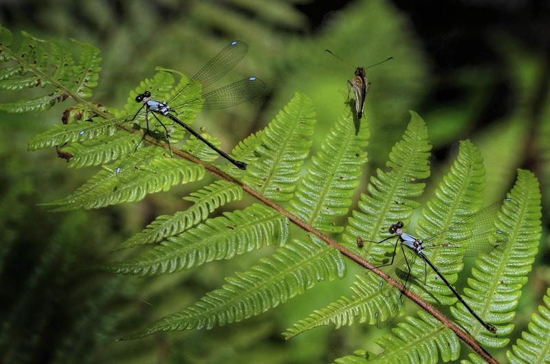 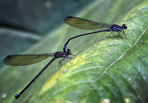 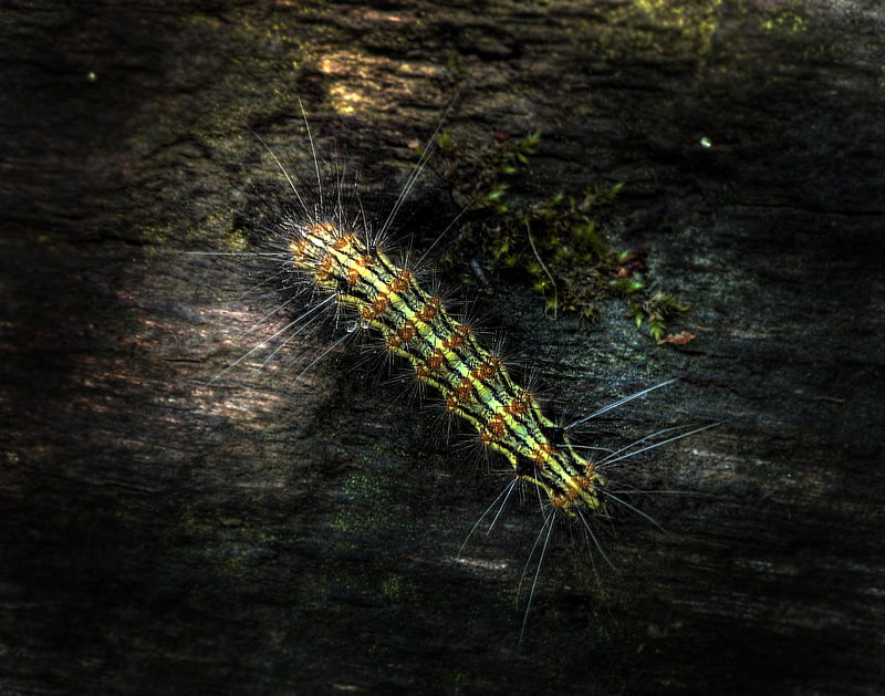 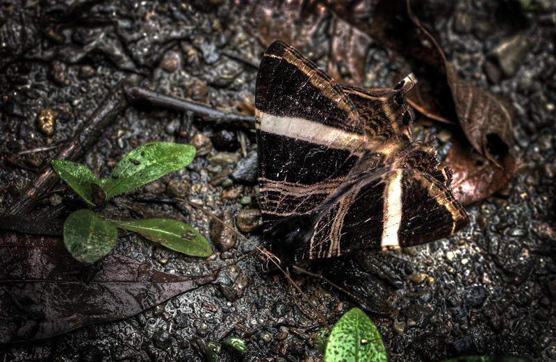
| To get to the
Cloud forest at Cascades de Sacramento Alto at 2600 meters altitude,
you have to ru along the Camino de
Muerte / most
dangerous road in the world to get there. Either from
La Paz south from the Cumbre Pass in 4660 meters altitude,
or from Coroico in north via Yolosa in
1100 meters altitude, and down to Caranavi. |
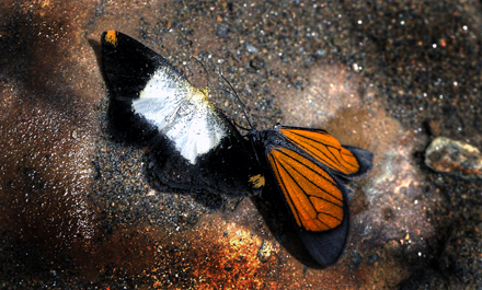 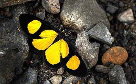 
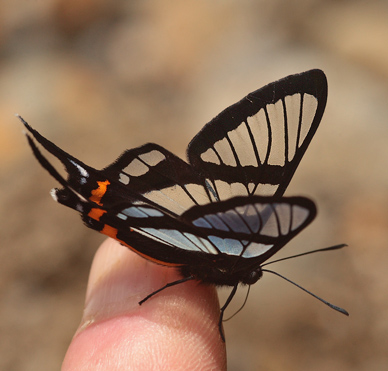 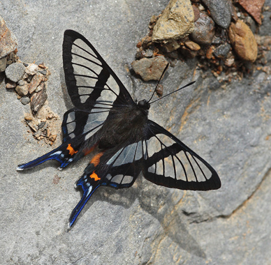 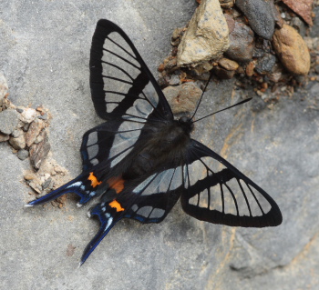 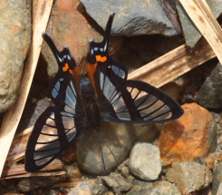
Andean Bee Butterfly, Chorinea
sylphina. Kori
Wayku inca trail, and Sacramento Alto, Yungas, Bolivia d. 1 & 2 february 2010. Photographer; Lars Andersen.
| Andean
Bee Butterfly, Chorinea sylphina are a cloudforest species at
altitudes between 1400 to 2700m. The genus Chorinea comprises of 8 species, all
following the same basic wing pattern as sylphina, but varying in the configuration
and extent of the red marking on their hindwings.
Distribution; Ecuador, Peru and Bolivia. Similary
species Yungas Bee Butterfly, Chorinea
faunus / amazon are in lower high altitudes
between 600 to 1200m around Caranavi valley, Yungas, Bolivia. |
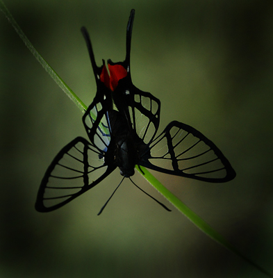 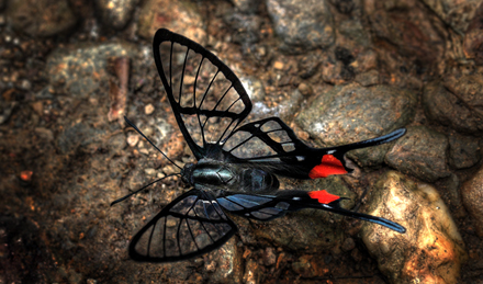
Amazon Bee Butterfly, Chorinea
faunus /amazon Caranavi elev. 810 m. d. 24 January
2012. Photographer: Lars Andersen
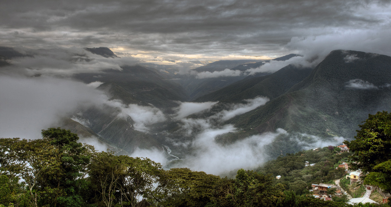
Cycling the world's most dangerous road
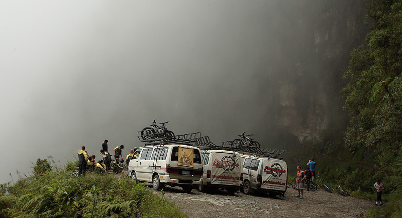 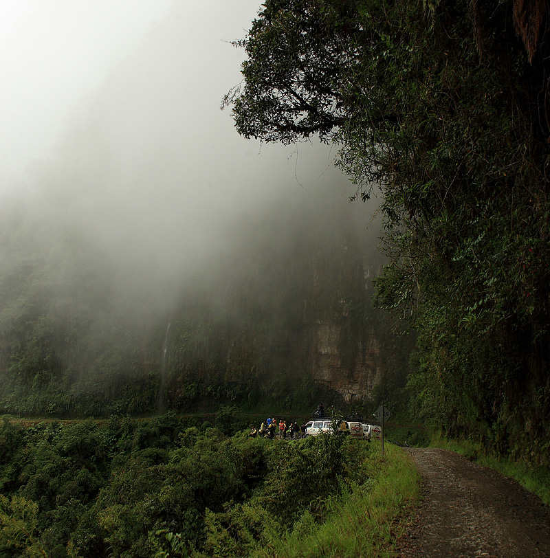 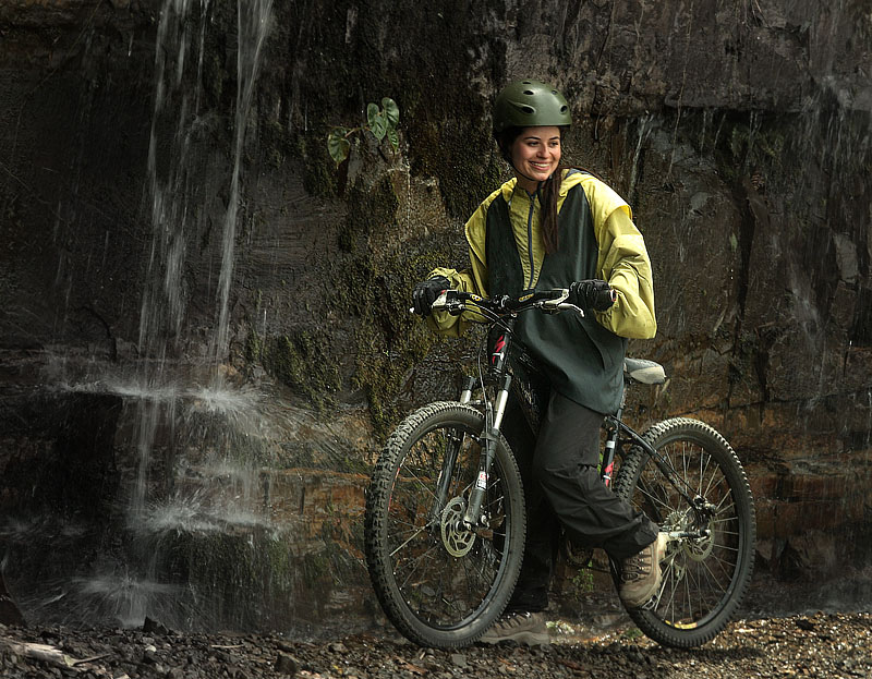
Camino de Muerte, Cascades de Sacramento Alto, elev. 2340 m. d. 4 February
2010. Photographer: Lars Andersen
| The old Yungas Road is
now used mainly for mountainbikers after the new
road are open. This Yungas Road is also called
the "death road". Along the road in
2340 m.h. found the famous waterfalls "Cascades
de Sacramento Alto"
and some other exciting ravines where I have
photographed butterflies several times. Read
article at Wikipedia From the Cumbre pass 4672 m up in
the snow, you drive 63.9 km along the world's
most dangerous road (estrada da morte) past the
Cascades de Sacremento Alto 2340 m. to Yolosa at
1075 m altitude in a tropical climate.
In 2006, the new road opened, so the
section between Es Cotapata and Yolosa along the
old Death Road is today used by tourism for mtb
driving.
|
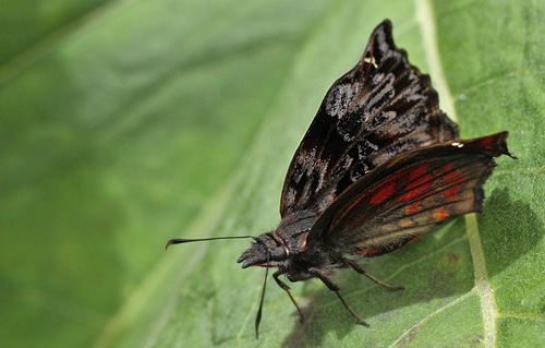
Camino de Muerte, Cascades de Sacramento Alto, elev. 2400 m. d. 9 February
2012. Photographer: Lars Andersen
dont use this pictures without
permission from:
photographer © Lars Andersen
Kori Wayku inca trail, Yungas, elev. 2000
m.
Enero - Febrero 2009 sitio 51
Kori Wayku inca trail, Yungas, elev. 2000
m.
Febrero 2008 sitio 35
Top
Gear: Bolivia's Death
Road - Top Gear - BBC on youtube
Mariposas de Bolivia
Enero 2012
por Peter Møllmann & Lars Andersen
Mariposas de Bolivia
Enero 2010
por Peter Møllmann & Lars Andersen
Mariposas de Bolivia
Enero - Febrero 2009
por Peter Møllmann y Lars
Andersen
Mariposas de Bolivia
Enero - Febrero 2008
por Peter Møllmann y Lars
Andersen
Mariposas de Bolivia
Enero 2007
por Peter Møllmann y Lars
Andersen
Mariposas de Bolivia
Enero 2006
por Peter Møllmann y Lars
Andersen
Home tilbage til forsiden
|


