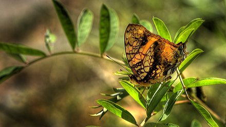
MARIPOSAS de BOLIVIA
Coroico Valley, Yungas, elev. 1100 m to
2100 m.
Enero - Febrero 2012 sitio 70
first update d.
13 january 2012
Last update d. 22
october 2019
  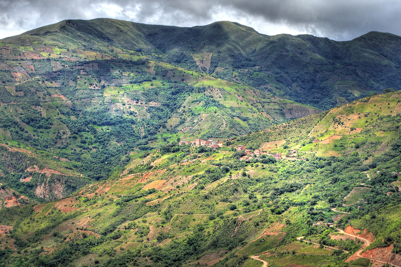 
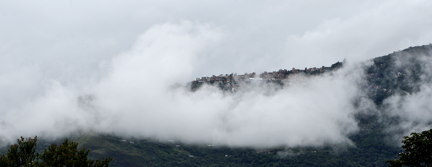
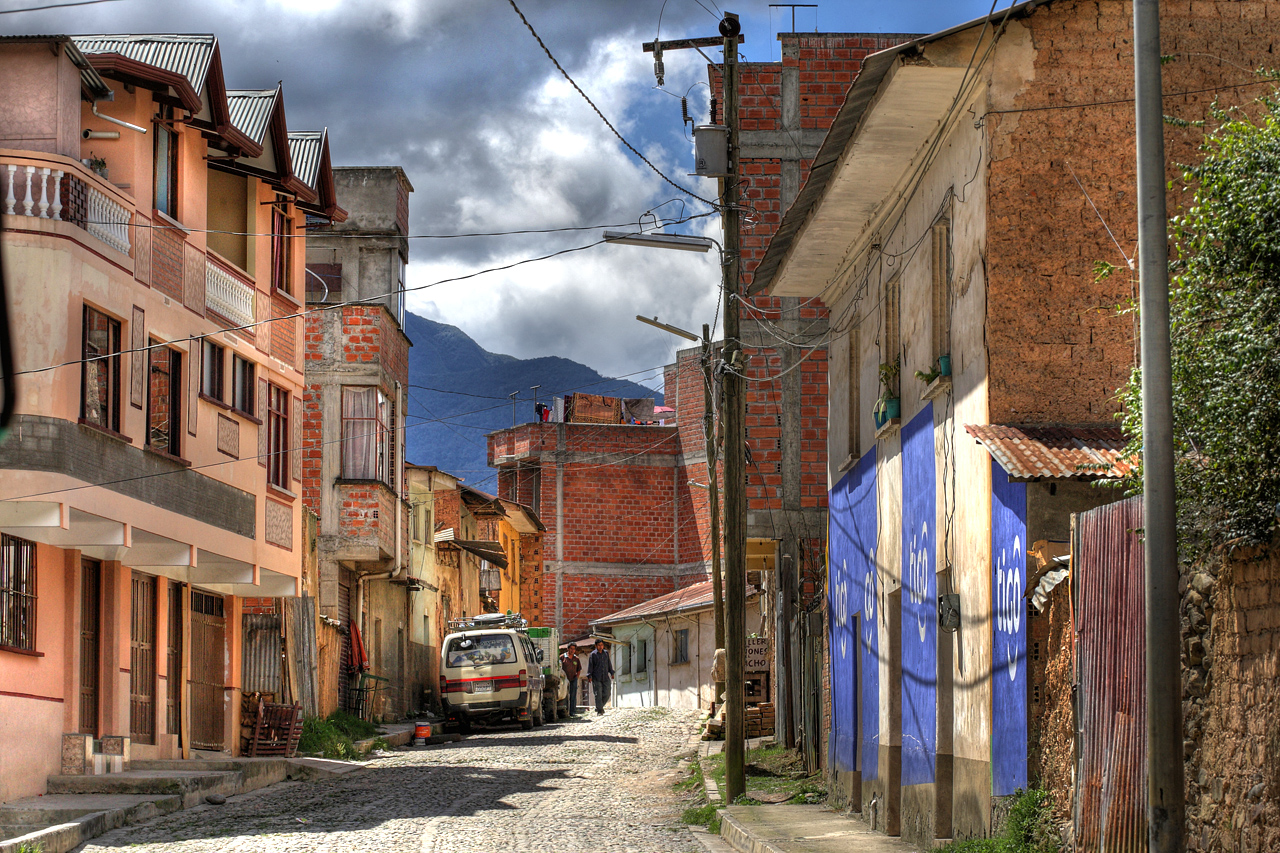
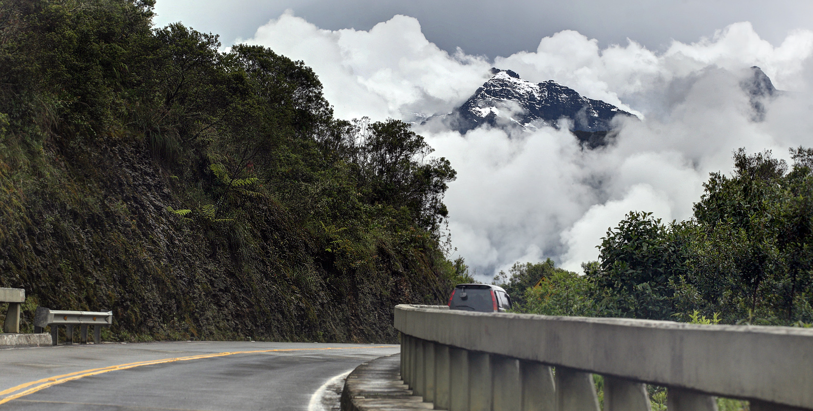
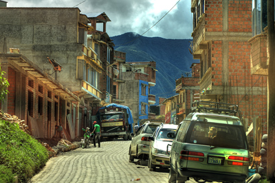
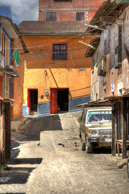
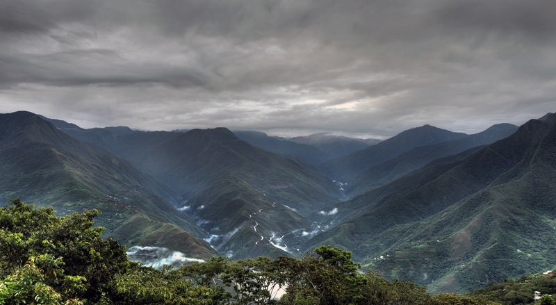
Coroico Valley in North
Yungas, Bolivia
Coroico Viejo (Old
Coroico) was founded above the Kori Huayco River
(which means "golden valley" in Aymara).
The town lived from mining gold, but the massive
attacks by Indians left the first settlers in
search of protection.
Looking for a
defendable position in the early 18th century,
the settlers arrived at the current location of
Coroico only to be chased into a cave by one of
Mount Uchumachi's powerful lightning storms. The
cave still exists below the church on the main
plaza of Coroico. In the late 18th and early 19th
centuries Coroico survived a couple of Indians
attacks - the biggest one was at the time of the
Bolivian War of Independence. 5000 Aymaras
attacked the town, which in those days only had
500 inhabitants. The town stood strong, forcing
the Aymaras into retreat. Since then, Coroicans
celebrate the Fiesta of the Virgin on October 20.
|
Coroico dalen i det nordlige
Yungas, Bolivia
Coroico Viejo (Old Coroico) blev
grundlagt ved Rio Kori Huayco (som betyder "gyldne
dal" i Aymara). Byen levede af
guldminedriften, men de massive angreb fra
indianerne tvang beboerne af byen til en ny plads
som de bedre kunne forsvare.
Det nuværende placering af
Coroico opstod i 18. hundrede årene. Der
eksistere en grotte i området, der kunne
befolkningen dengang søge ly under de ofte
forekommende tordenvejr som samler sig ved Mount
Uchumachi. Hulen eksisterer stadig under kirken
på plazaen i Coroico. I de sene 18. og tidlige
19. århundrede overlevede Coroico et par
indianere angreb - den største var på
tidspunktet for den bolivianske
uafhængighedskrig. 5000 Aymaras angreb byen, som
dengang kun havde 500 indbyggere. Byen forsvar
stod stærk dengang og tvang Aymaras til
tilbagetog. Siden da, fejrer Coroicans Fiesta af
Jomfru den 20. oktober.
|
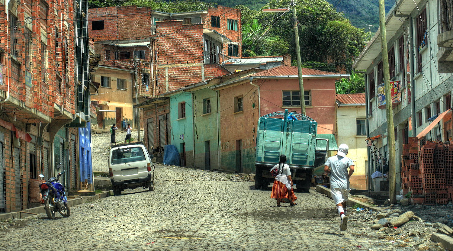
| Coroico became the
capital of the North-Yungas in 1899 making
Coroico the political and industrial center of
the region, which produces wood products, fruits,
and coca for the La Paz region of Bolivia. In
1958, the city was made the seat of the
Territorial Prelature of Coroico, and elevated to
the Roman Catholic Diocese of Coroico in 1983. From the mid-18th
century the lands in this region came under the
control of a few powerful families, the
hacienderos. These families maintained control of
this region until the mid-1950s, when they were
overthrown by revolution. After the revolution,
agrarian reforms were put in place, dividing the
lands up between the national government and the
locals.
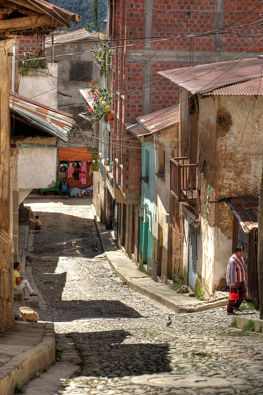
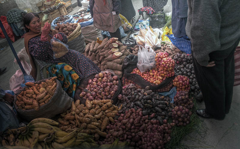
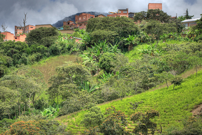
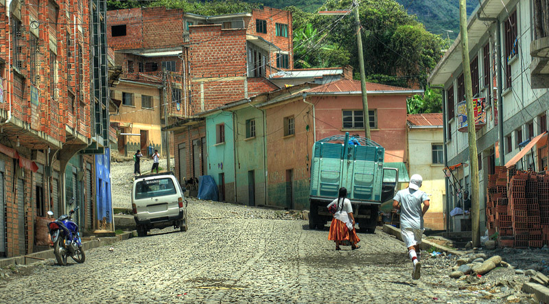
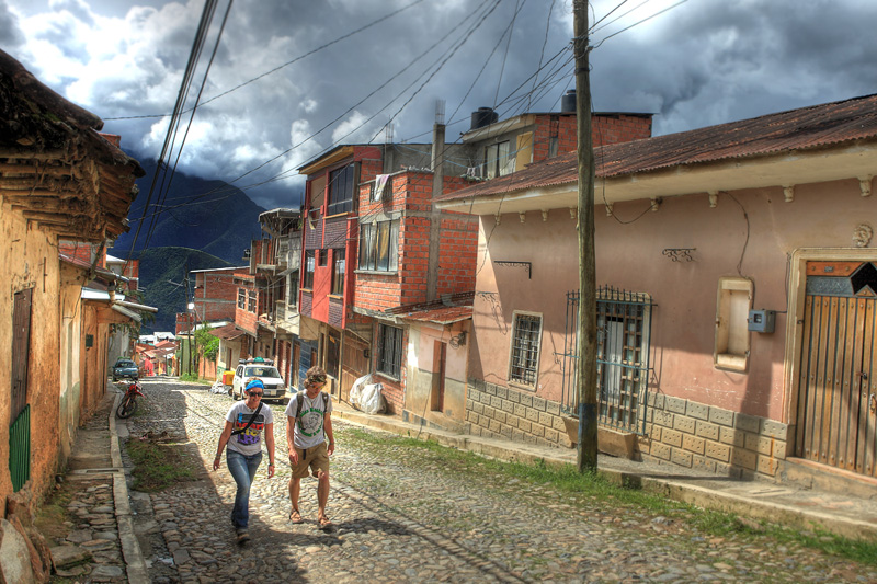
Now, Coroico
has a mostly Aymara and Mestizo population. The
town has become a major market for the
surrounding region. Staple products arrive from
La Paz and the surrounding areas to be sold in
the colorful markets and stores all days of the
week. The region around Coroico has remained a
traditional coca growing area and is the smallest
of three areas of coca production in Bolivia.
|
Coroico blev hovedstad i Nord-Yungas
i 1899 hvor Coroico blev det politiske og
industrielle centrum i regionen, som producerer
træprodukter, frugter, og Coca i La Paz regionen
Bolivia. Fra midten af det 18. århundrede kom
regionen under kontrol af nogle få magtfulde
familier, hacienderos. Disse familier fastholdt
kontrol over denne region indtil midten af 1950'erne,
da de blev væltet af revolutionen. Efter
revolutionen blev landboreformerne sat på plads,
dividere jorde op mellem den nationale regering
og de lokale.
I Dag består Coroico populationen
hovedsageligt af Aymara og Mestizo. Byen er
blevet et stort marked for den omkringliggende
region. Industri og føde produkter ankommer fra
La Paz og de omkringliggende områder, der skal
sælges i de farverige markeder flere dage i ugen
(fredag-lørdag-søndag). Regionen omkring
Coroico har været en traditionel coca dyrkende
område og er den mindste af tre områder med
coca produktion i Bolivia.
|
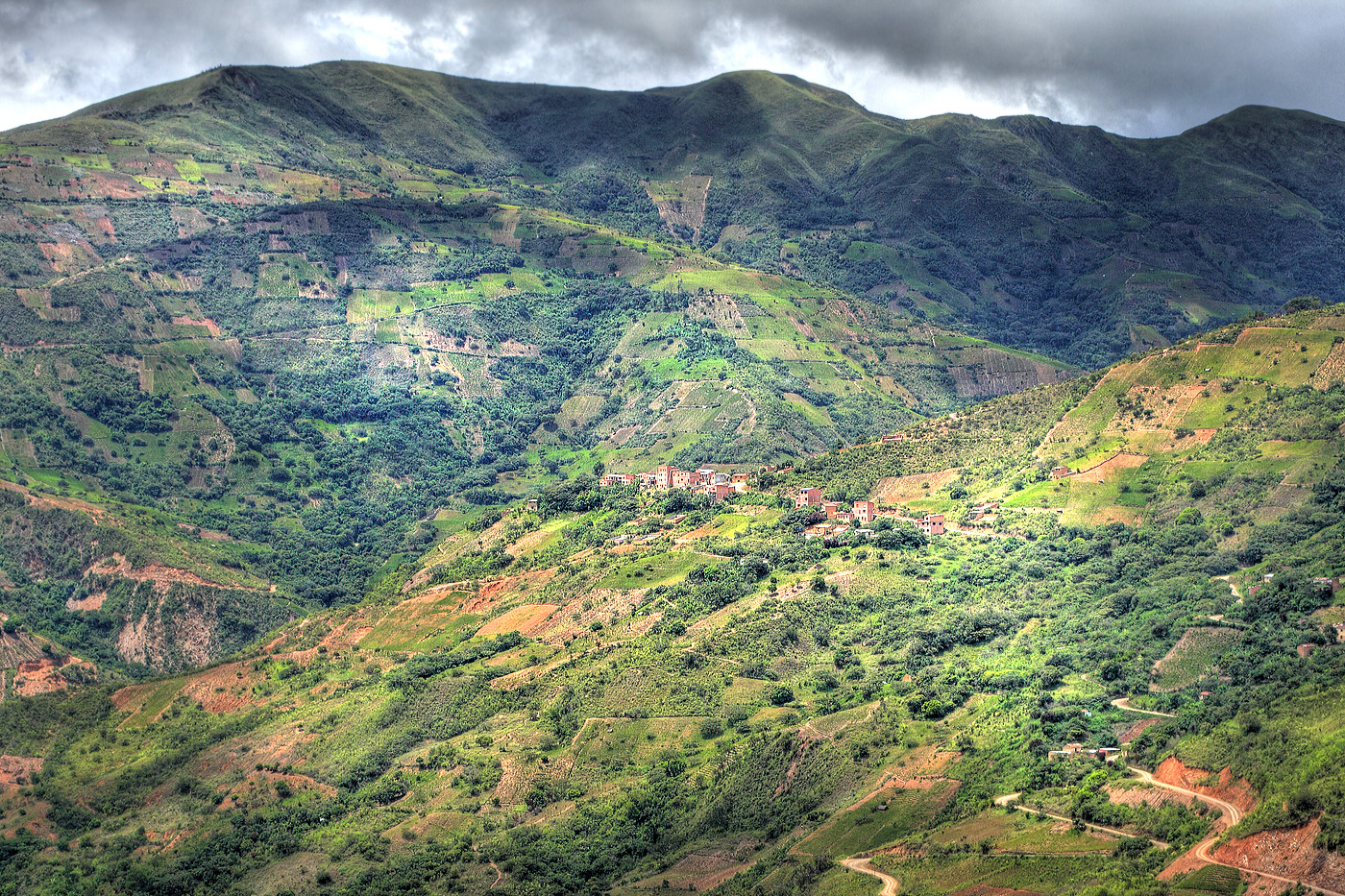
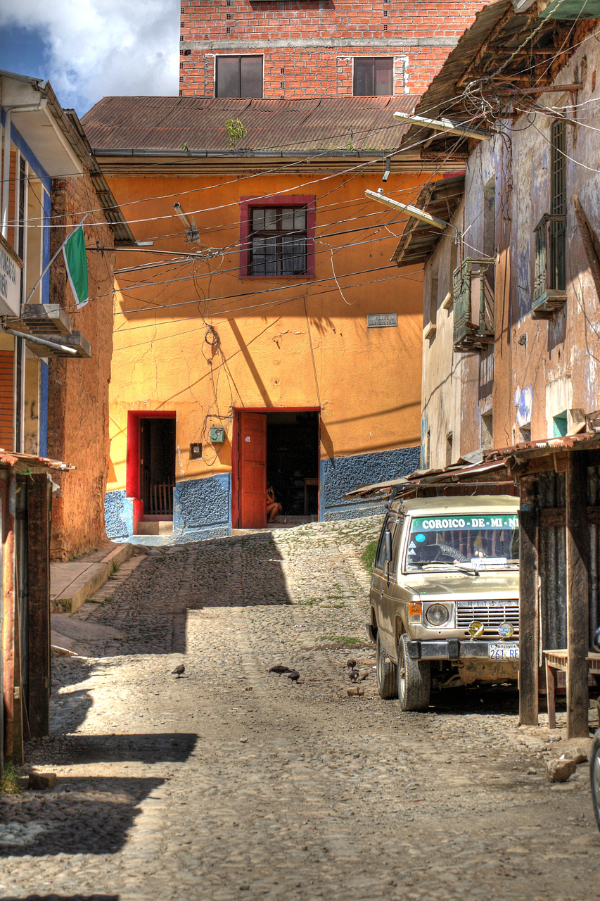
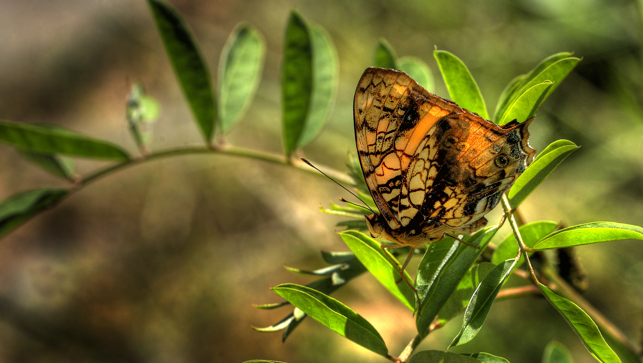
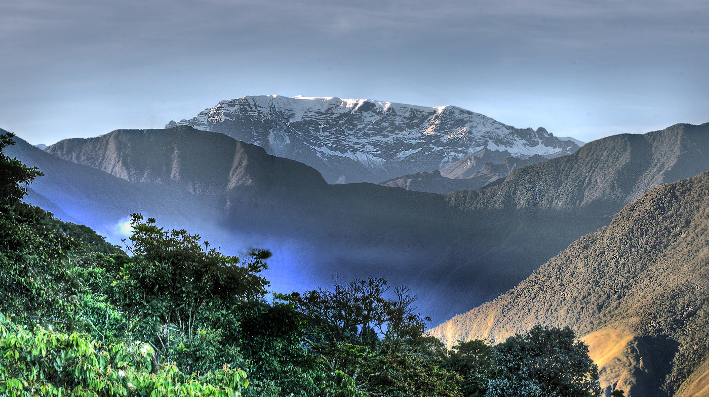
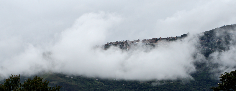
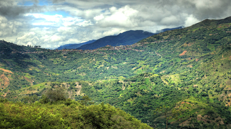
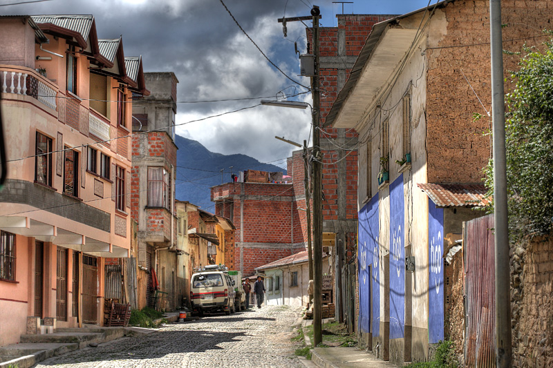
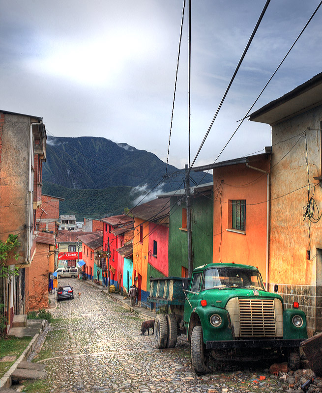
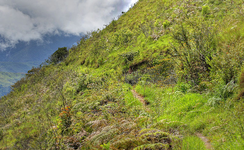
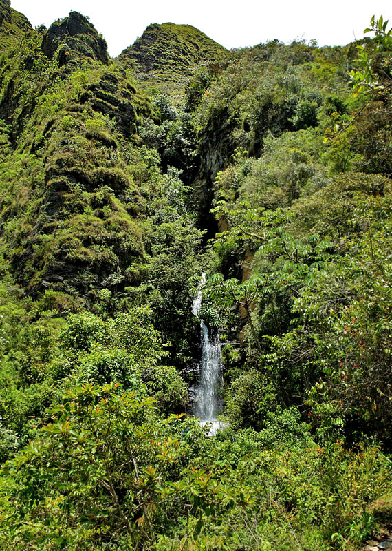
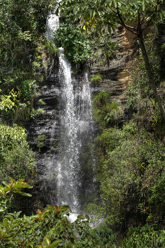
| Coroico emerald (esmeralda)
green surroundings have become a welcoming sight
for travelers tired of the harshness of the
altiplano. The views of the surrounding hills are
lovely, the nearby hiking trails are picturesque,
the bars and restaurants in town are pleasant,
and there are some worthwhile excursions. Here in
this tropical town, you'll find fruit orchards,
twittering birds, coca fields, endless greenery,
oxygen-rich air, warm weather, and friendly
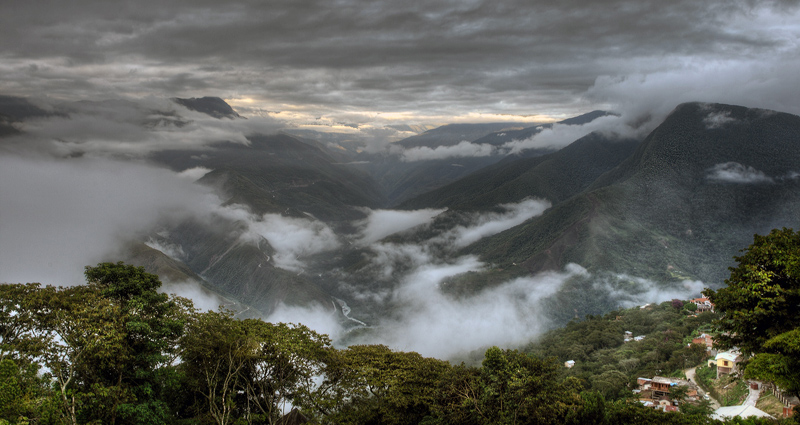
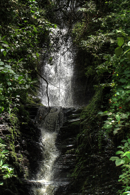
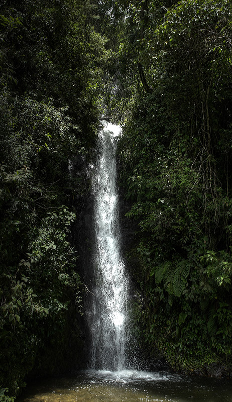
locals. There are also
some good walks in the area where you could spend
a few days in Coroico to explore the area, such
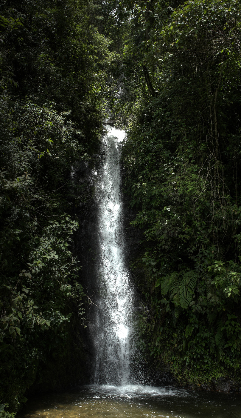
as hiking to "Cascades of Vagantes" or
"San Juan Cascades" and other exciting
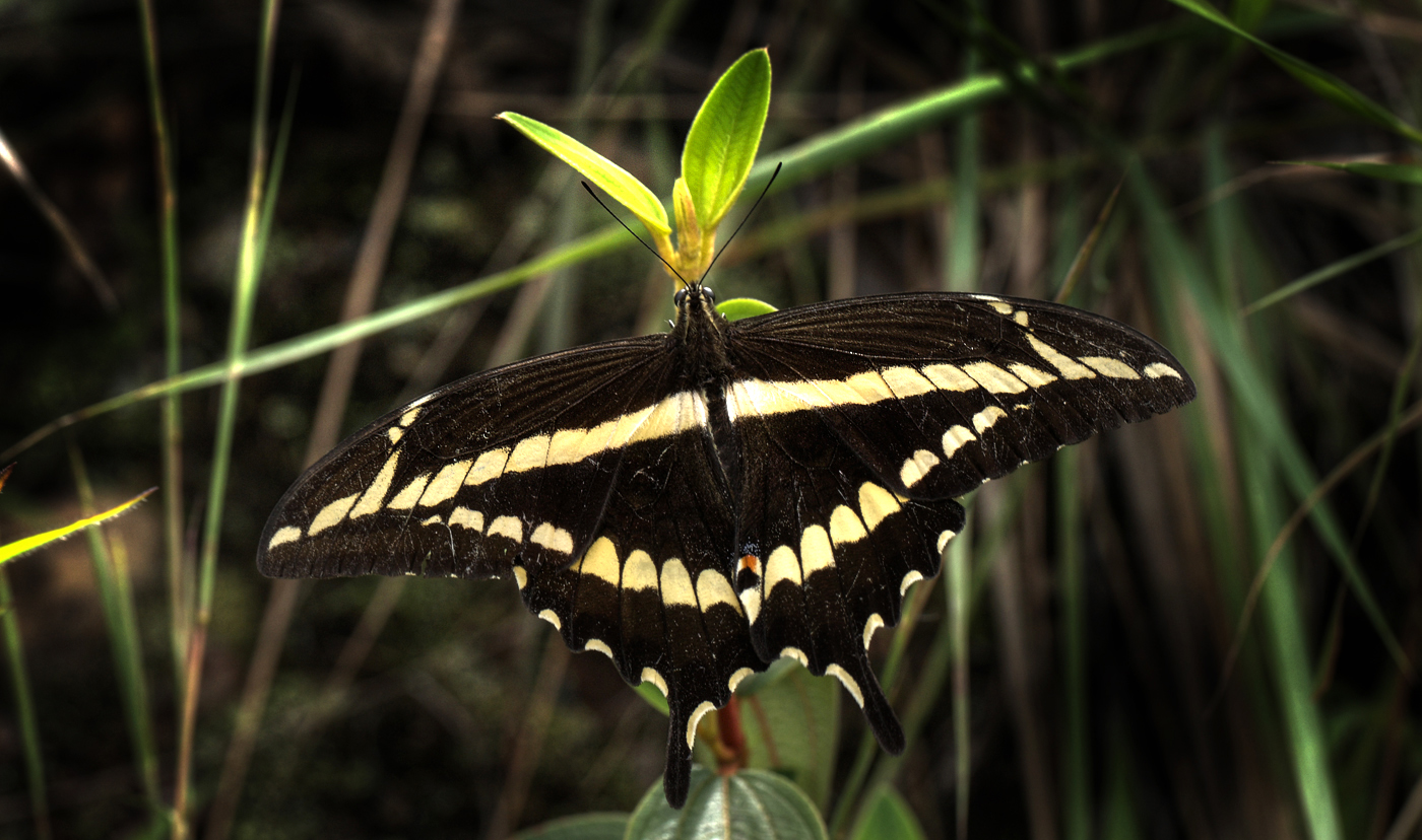
ravines with waterfalls where I have photographed butterflies.
|
Coroico Emerald (Esmeralda)
grønne omgivelser er blevet et indbydende
rejsemål for rejsende trætte af højdesyge fra
det barske Altiplano højslette og den dårlige
luft i La Paz.
Da udsigten over de omkring
liggende bakker er dejlige, de nærliggende
vandrestier er maleriske, barer og restauranter i
byen er behagelig, og der er nogle interessante
udflugtsmål. Her i dette tropiske klima, finder
du frugtplantager og kvidrer fugle, coca marker,
endeløse pyntegrønt, ilt-rige luft, varmt vejr
og venlige lokalbefolkning. Der er også nogle
gode vandreture i området, hvor man kunne
tilbringe et par dage i Coroico til at udforske
området, såsom vandreture til ”Cascades de
Vagantes” eller ”San Juan Cascades”
og andre spændende raviner med vandfald hvor jeg
har fotograferet sommerfugle.
|
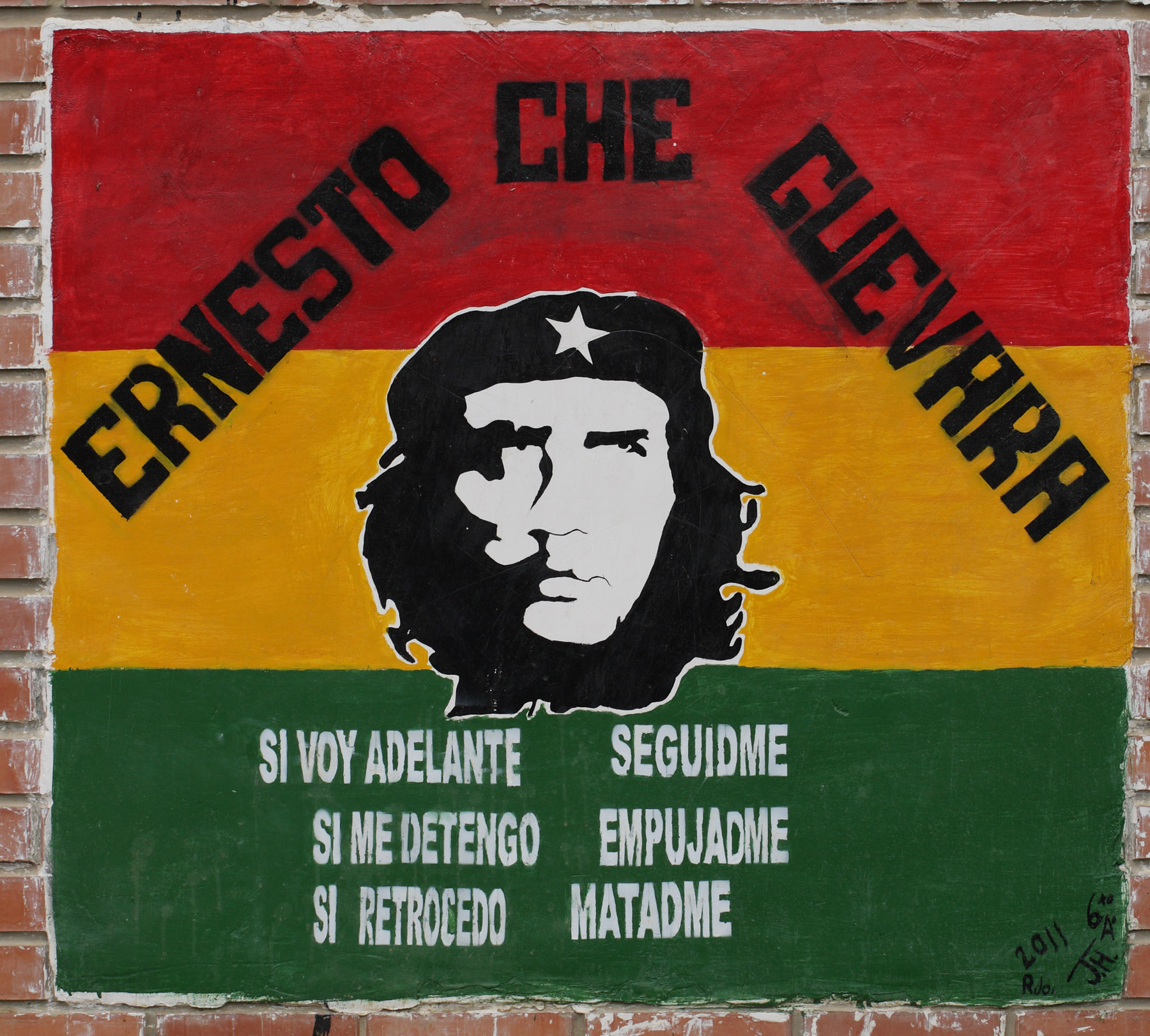
Ernesto ’Che’ Guevara
d. 22 oktober 2019
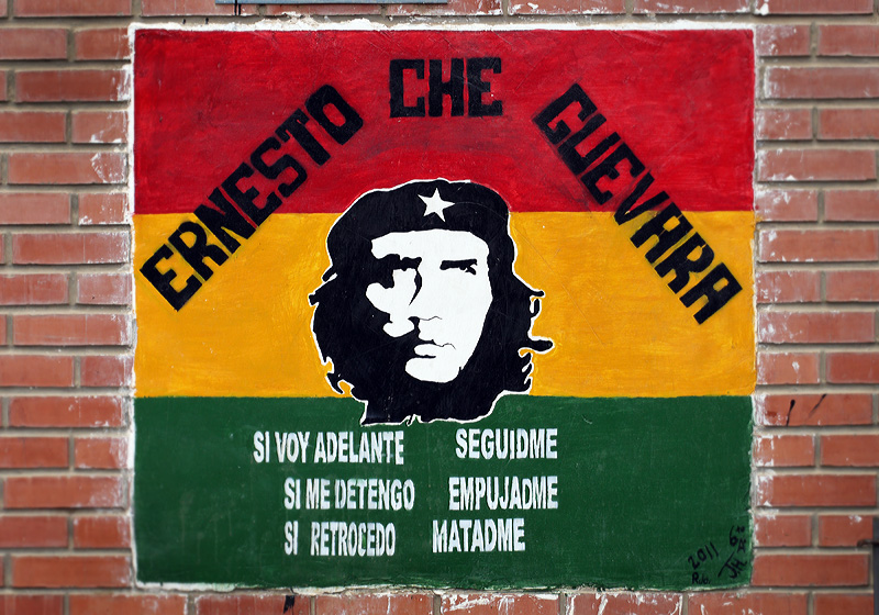
Hvis
jeg går foran, følg mig
Hvis jeg stopper, skub mig
Hvis jeg går tilbage, dræb mig
D. 9. oktober 1967 blev Ernesto ’Che’ Guevara henrettet i Bolivia efter at være
blevet taget til fange. Hans lig blev lagt til
offentligt skue på et hospital i Vallegrande,
hvor byens befolkning og nonner defilerede forbi.
Stadig den dag kan man se hans slagord i flere
landsbyer i Bolivia.
Her fra Avicola, Yungas, Bolivia d. 12 februar 2012. Fotograf; Lars Andersen
|
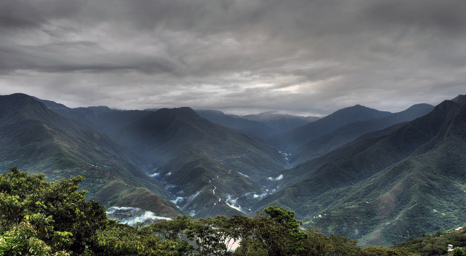
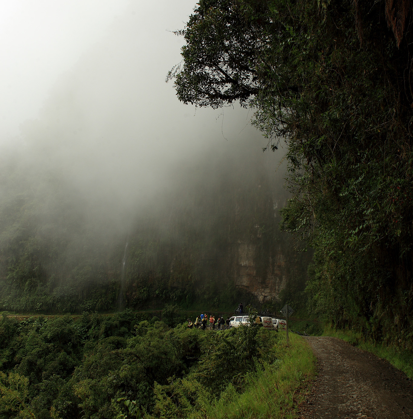
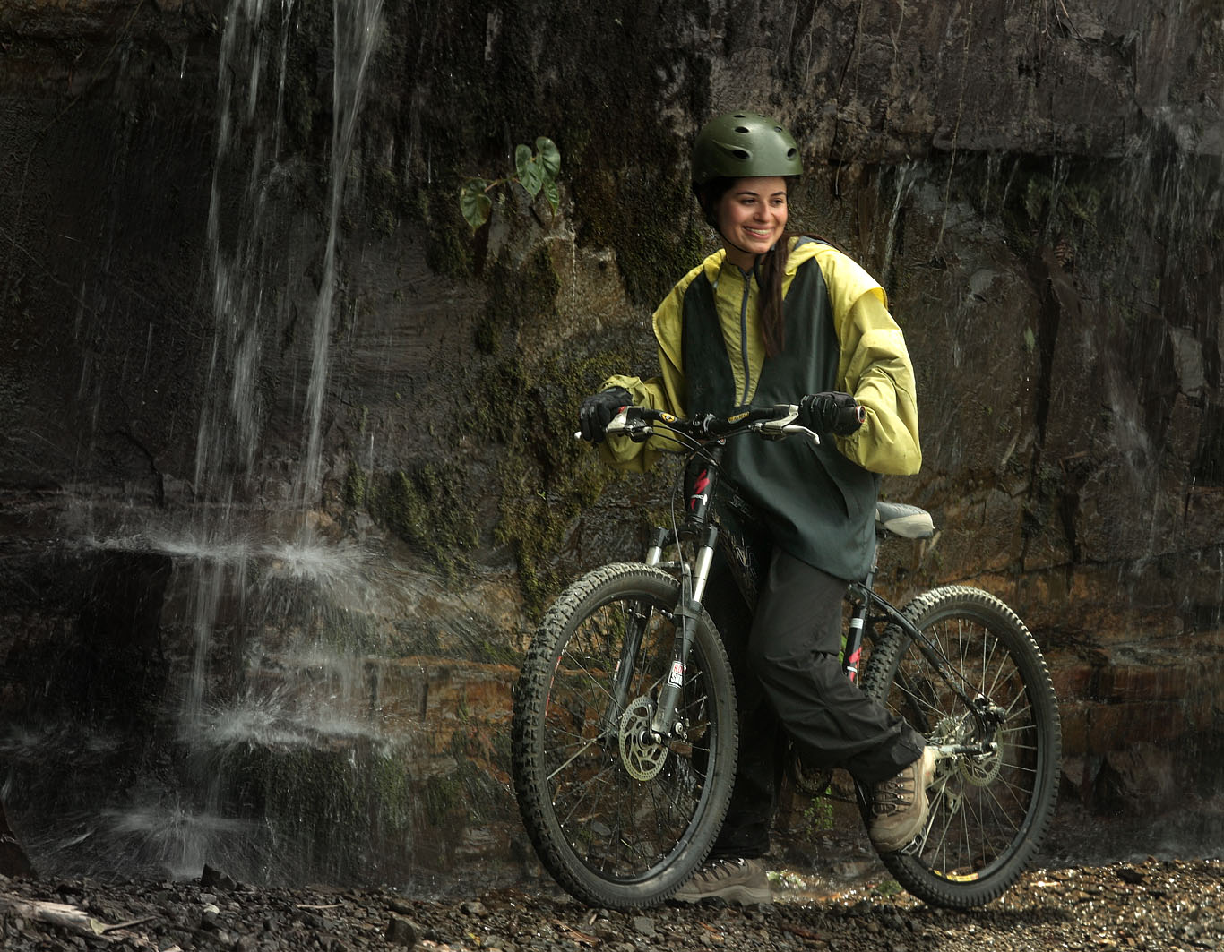
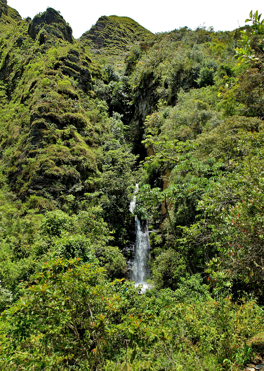
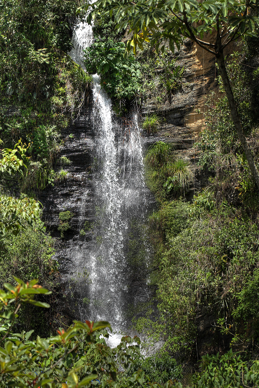
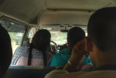
Cycling the world's most dangerous road
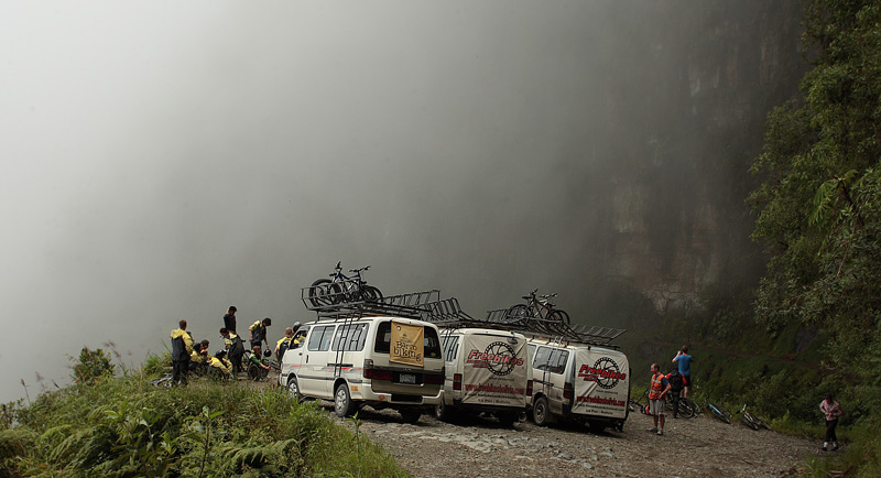  
Camino de Muerte,
Cascades de Sacramento Alto,
elev. 2600 m. d. 4 February 2010.
Photographer: Lars Andersen
BBC News, 16 May 2010
| New highway: On a part
of the road from La Paz to Coroico a new highway
has been opened at the end of 2006, and the old
Yungas Road is now used mainly for bikers. This
Yungas Road is also called the "death road".
Along the road in 2600 M.H. found the famous
waterfalls "Cascades
de Sacramento Alto"
and some other exciting ravines where I have
photographed butterflies several times. Read
article at Wikipedia |

Ny motorvej: På en del
af vejen fra La Paz til Coroico er der åbnet en
ny motorvej i slutningen af ??2006, og den gamle
Yungas Road anvendes nu primært til cyklister
på mtb downhill. Denne bjergtur på mtb som
starter oppe fra Cumbre i 4672 m.h. Og ender i
Yolosa i 1190 m.h. kaldes også "the Death
Road". Langs med vejen i 2600 m.h. Ligger de
kendte vandfald ”Cascades
de Sacramento Alto”
og nogle andre spændende raviner hvor jeg flere
gange har fotograferet sommerfugle.
|
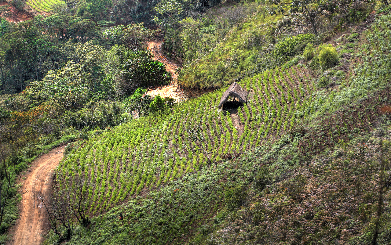
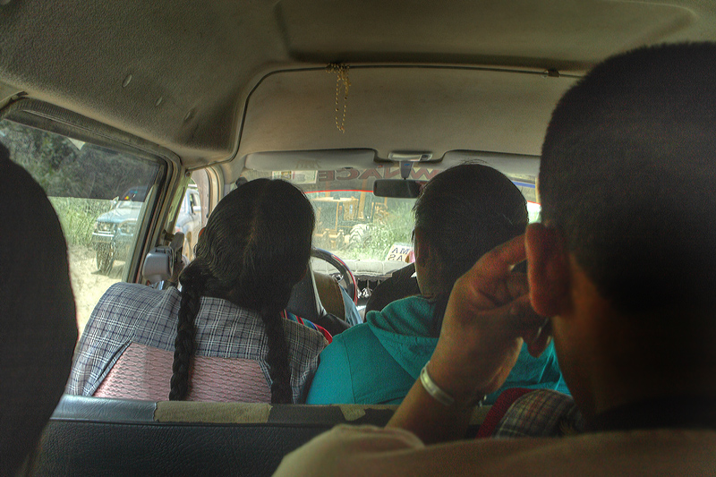
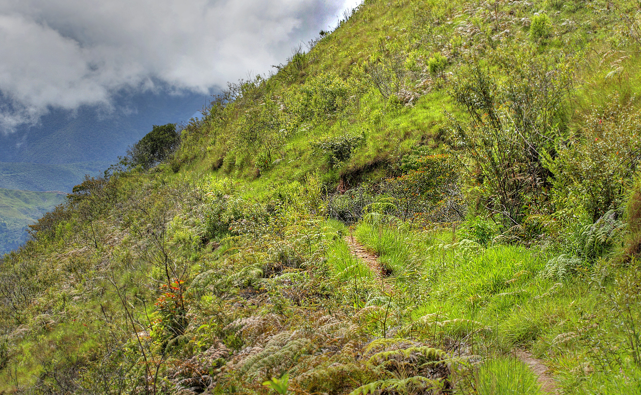
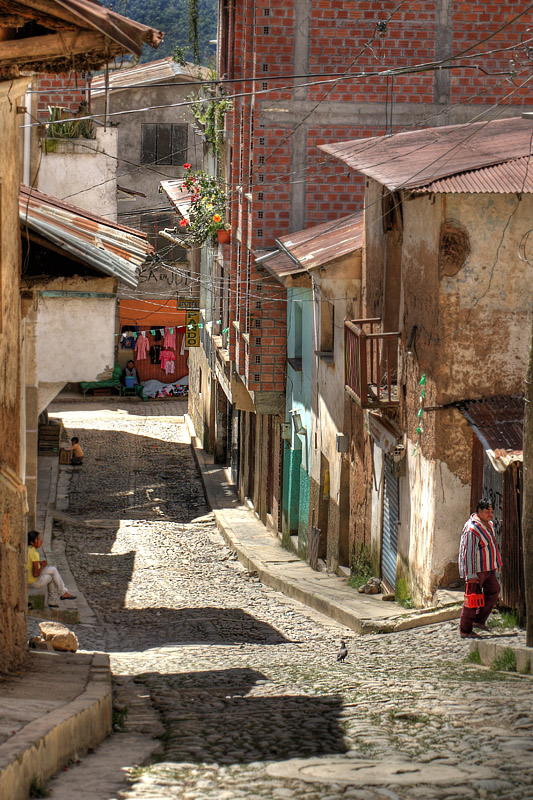
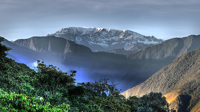
| Other interesting
locality are San Miguel and Kori Wayku Inca Trail,
where I've been several times up and
photographing butterflies and orchids. Then there
is the bottom of the Rio Coroico valley down by
Yolosa, Yolosita and Puenta Tocana where you can
drive up to Tocana, Suapi and Santa
Rosa de Quilo Quilo who are also good places to visit
if you are interested in butterflies. From Coroico you can drive on
through Coroico valley on to Caranavi, Guarnay or Rurrenabaque which is the
gateway to Amazonas great river system. From
Rurrenabaque you can go on trips to the jungle
nearby "Madidi National Park" or the
“Pampas” east of the town which is the
most famous tourist attraction.
Lars
Andersen d. 22
february 2012. Copenhagen, Denmark.
|
Af andre spændende
udflugtsmål er San Miguel og Kori Wayku inca
trail, hvor jeg har været flere gange oppe og
fotografere sommerfugle og orkideer. Så er der
lige bunden af Rio Coroico nede ved Yolosa,
Yolosita og Puenta Tocana, hvor man kan kører op
til Tocana, Suapi og Santa Rosa de Quilo Quilo.
Fra Coroico kan man køre
videre igennem Coroico dalen videre til Caranavi,
Guarnay eller Rurrenabaque som er porten til
Amazonas store flodsystem. Fra Rurrenabaque kan
man tage på ture til junglen i nærheden "Madidi
Nationalpark" eller Pampas/Jungle savannaen
øst for byen som er de mest kendte udflugtsmål.
Lars
Andersen d. 22
februar 2012. København, Danmark.
|

Butterflies from
Coroico valley, Yungas, elev. 1700 m.
Enero - Febrero 2012 sitio 72
Home tilbage til forsiden
|